DSS - Descision Support System
Preparedness and Crisis Training
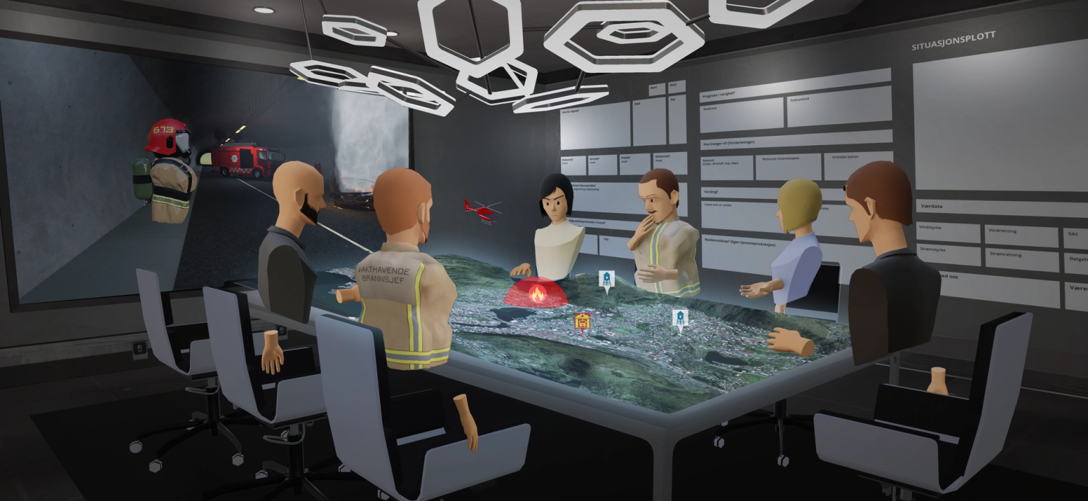
Our Decision Support System (DSS) is developed for preparedness and crisis training. In the DSS, the environment is a 3D map of where you wanna train. The map is searchable for any location. It is also scalable from an overview image to a full-scale rendition, of any place on the planet.
In addition, users can place objects, markings, and editable text boxes on the map. This lets the user recreate situational images, either for informing about real conditions or to simulate situations and propose solutions.

Save/load scenarios and visualize external data
CORE’s save/load-system allows users to run large scale exercises. This is especially great for setting up complex training exercises. The participants make choices and are presented with the consequences of these choices. With the save/load-system, the DSS is a simple and flexible application for any training needs.
Users can access information boards with defined areas of responsibility. Through API’s the application can gather and visualize data from external sources like online weather reports or Google Traffic. This definitely gives any exercise a dimension of reality where the users can, for example, monitor traffic load and road axes in real-time, as well as visualizing the effect wind direction has on smoke development.